The Bernard Rodriguez Journal
Exploring the latest trends and stories in news and lifestyle.
Sky's the Limit: Capturing the World from Above
Explore stunning aerial photography and breathtaking landscapes that will inspire your wanderlust. Discover the world from a new height!
Exploring Aerial Photography: Tips and Techniques for Capturing Breathtaking Views
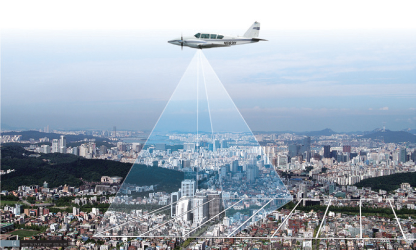
Exploring aerial photography opens up a whole new perspective on the world around us. To capture the breathtaking views that make this art form unique, proper planning and technique are essential. First, consider the time of day; early morning or late afternoon provides the best natural light, often referred to as the golden hour. This can dramatically enhance your images, making colors pop and reducing harsh shadows. Additionally, familiarize yourself with your equipment—whether it's a drone, a helicopter, or a simple camera at a height—understanding the settings and capabilities of your device can help you achieve desired results.
Next, mastering composition is vital. Incorporate techniques such as the rule of thirds, leading lines, and framing to create compelling images. For instance, when using the rule of thirds, divide your frame into a grid and place points of interest along these lines. Additionally, pay attention to the weather conditions and the environment; unique cloud formations or seasonal changes can add depth to your photography. Don't forget to protect your gear and be aware of local regulations regarding aerial photography to ensure a safe and successful shooting experience.

The Best Drones for Aerial Photography: A Comprehensive Guide
When it comes to capturing stunning aerial shots, choosing the right drone is essential. The best drones for aerial photography combine high-quality cameras, stability, and user-friendly features. In this guide, we will highlight some top contenders in the market that excel in photography capabilities. Consider options like the DJI Mavic 3, known for its impressive Hasselblad camera and 46 minutes of flight time, or the Autel EVO Lite+ that offers 6K video resolution, making them ideal choices for both enthusiasts and professionals.
When selecting a drone, remember to evaluate factors such as camera specifications, flight duration, and ease of use. Here are a few key aspects to consider:
- Camera Quality: A high-resolution camera is crucial for capturing breathtaking images.
- Flight Time: Longer flight times allow for more shooting opportunities.
- User Experience: Look for drones with intuitive controls and beginner-friendly modes.
How Aerial Footage Transforms Storytelling in Film and Media
Aerial footage has revolutionized the way stories are told in both film and media, providing a unique perspective that captivates audiences like never before. By offering sweeping views and expansive landscapes, aerial shots elevate the narrative, allowing viewers to fully immerse themselves in the setting. Whether it's a breathtaking landscape in a nature documentary or a bustling cityscape in a feature film, such perspectives add depth and context to the storytelling. According to Film Sight Magazine, aerial shots not only set the stage but also evoke emotional responses, drawing viewers into the narrative's heart and soul.
Furthermore, the use of drones has made aerial footage more accessible than ever, democratizing the filmmaking process. Independent filmmakers can now achieve cinematic quality without the hefty budgets once required for helicopter shots. This shift enables a diverse range of voices and stories to emerge and thrive within the medium. As highlighted by Videomaker, the ability to change perspectives frequently enhances storytelling, allowing for dynamic transitions and the seamless weave of various narrative threads. Consequently, aerial footage continues to transform film and media, challenging traditional storytelling methods and expanding creative possibilities.